


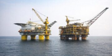


An Equatorial Pivot with Maritime Access
Straddling the Equator and flanked by six neighbours, the Republic of the Congo occupies a geopolitical cockpit that links the Gulf of Guinea to the forested heart of the continent. Its modest, 160-kilometre Atlantic frontage, framed by Gabon to the north and Angola’s Cabinda enclave to the south, is deceptively consequential. The corridor concentrates energy terminals at Djeno and facilitates imports through the port of Pointe-Noire, a hub whose container traffic recovered to near pre-pandemic levels by late 2022 (United Nations Trade Statistics 2023). Sea-borne access offsets the landlocked reality of several Central African partners, explaining why Brazzaville routinely champions regional infrastructure protocols within the Economic Community of Central African States.
Urban Density amid Vast Hinterlands
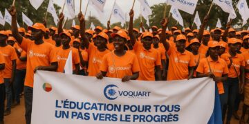
While the country’s overall population hovers below six million, more than half reside in the twin cities of Brazzaville and Pointe-Noire. This demographic concentration produces a curious juxtaposition: sprawling, scarcely inhabited forest and savanna hinterlands coexist with metropolitan corridors whose growth rates exceed 3 percent annually (African Development Bank 2023). Policy planners view this imbalance less as a liability than as an opportunity to mobilise climate finance for conservation while nurturing specialised urban economies in logistics, telecommunications and cultural industries.
Relief Patterns Shaping Connectivity
Topography appears benign at first glance, yet the transition from the narrow coastal plain to the rugged Mayombé Massif and onward to the plateaus has historically dictated transport routes, defence calculation and settlement patterns. The Niari depression, a natural east–west corridor, hosted the colonial rail line in 1921 and still accommodates the Pointe-Noire–Brazzaville railway, recently rehabilitated with concessional financing from the China Development Bank. North-south corridors, by contrast, must negotiate escarpments and deeply incised tributary valleys, raising per-kilometre infrastructure costs above the continental average, according to the OECD Sahel and West Africa Club.
Hydrological Networks as Economic Arteries
Dominated by the mighty Congo River and its right-bank tributaries—the Sangha, Likouala, Alima and Léfini—the national drainage system constitutes both a logistical asset and an ecological responsibility. River transport moves an estimated 35 percent of domestic timber output toward Atlantic shipping points (FAO Forest Outlook 2022). At the same time, annual inundations across the 155,000-square-kilometre Cuvette Centrale plain recharge peatlands that store gigatonnes of carbon. Brazzaville negotiators have leveraged this hydrological endowment in climate diplomacy, positioning the country as a guardian of a global ecological commons while attracting results-based payments for emission reductions.
Soil Diversity and Agricultural Prospects
Coarse-grained lateritic soils dominate two-thirds of national territory, a legacy of intense tropical weathering. Yet alluvial pockets along the Niari, Kouilou and Sangha basins sustain robust yields in cassava, maize and market gardening, feeding urban centres and securing a measure of price stability in staple foods, according to the World Food Programme’s 2023 market survey. Ambitious agro-industrial concessions in the Plateaux and Cuvette departments seek to complement these niches by introducing climate-smart practices, thus mitigating the erosion risks that seasonal downpours and wind gusts pose to savanna soils.
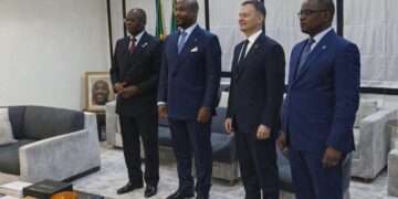
Geography’s Role in Congo’s Diplomatic Posture
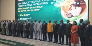
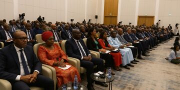
In regional forums, the Congolese leadership often invokes three geographic facts: coastal access, river connectivity and forest stewardship. Together they frame the country as an indispensable interlocutor between Atlantic and continental agendas. Recent talks on a deep-sea fibre optic cable linking Luanda, Libreville and Lagos saw Brazzaville mediate landing rights in exchange for development financing for the Sangha River intermodal port. Such episodes underscore how physical geography transcends cartographic description to inform negotiation leverage. As Central Africa edges toward greater economic integration, Congo-Brazzaville’s terrain—far from being a passive backdrop—emerges as a subtle but resolute architect of its diplomatic and economic trajectory.