


A Central African Intersection Shaped by Latitude
Straddling the Equator and flanked by five neighbours, the Republic of the Congo occupies a cartographic hinge that links the Gulf of Guinea to the vast interior of the continent. From the sandy littoral adjoining the Atlantic to the forest-laden Cuvette depression, the country’s 342,000 square kilometres present a continuum of low-lying coasts, rolling plateaus and modest highlands. Mount Nabemba, rising to 1,020 metres in the Sangha hinterland, provides symbolic elevation rather than formidable relief, yet its mineral-bearing slopes have drawn measured interest from investors in iron ore and rare earths. The comparative gentle gradient between sea level and plateau has long eased the diffusion of people and goods and, by extension, ideas and alliances.
Rainforest Stewardship and International Expectations
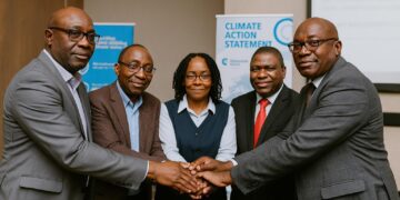
Roughly seventy percent of Congolese territory is cloaked in tropical forest, positioning Brazzaville as a pivotal stakeholder in global carbon-sink diplomacy. According to data compiled by the Central African Forest Initiative and corroborated by the World Resources Institute, the country’s annual deforestation rate remains among the lowest in the Congo Basin, a performance frequently highlighted by government envoys in multilateral climate fora. By pairing conservation incentives with community forestry schemes, the authorities have signalled readiness to monetise ecosystem services without compromising sovereign decision-making. The forthcoming emission-reduction purchase agreement currently under review at the World Bank’s Forest Carbon Partnership Facility is set to place an economic premium on standing timber while attracting climate-aligned capital.
Hydrographic Arteries and Emerging Blue Economy
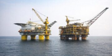
The Congo River and its tributaries, notably the Ubangi and Sangha, form a 4,700-kilometre aquatic network that binds the nation to Kinshasa, Bangui and beyond. Classified by the African Development Bank as the least-cost freight corridor for the sub-region, these waterways remain central to the movement of timber, hydrocarbons and agricultural produce. Pointe-Noire’s deep-water port anchors the maritime end of the chain, where offshore gas finds have intensified dialogue with investors pursuing low-carbon liquefied projects. Renewable energy analysts at the International Hydropower Association point out that run-of-river projects under feasibility study could eventually feed both domestic grids and the Central African Power Pool, reinforcing Brazzaville’s ambition to become an energy interconnector.
Administrative Cartography and the Governance Fabric
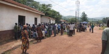
Twelve departments—from forested Likouala in the north-east to urbanised Brazzaville and Pointe-Noire—constitute the first tier of Congolese governance. Recent decentralisation legislation, endorsed by the National Assembly in concert with development partners, allocates a larger share of non-oil revenue to departmental budgets, aiming to reduce logistical bottlenecks across the expansive Plateaux and Niari valleys. Analysts at the Economic Commission for Africa emphasise that improved rural road density, when matched with streamlined customs procedures, could shave as much as eighteen percent off farm-gate transaction costs, a statistic the Ministry of Planning frequently cites to court agri-business consortia.
Security Topography and Cooperative Stability
Geography also moulds the security environment. The Mayombe Massif, straddling the Gabonese and Angolan frontiers, historically harboured porous routes for informal trade as well as potential conflict spill-over. Brazzaville’s trilateral patrol arrangement with Libreville and Luanda, formalised in 2022 under the auspices of ECCAS, has been lauded by the United Nations Regional Office for Central Africa for reducing cross-border incidents by double digits. Further north, the swampy expanse of the Cuvette acts as a natural buffer, yet its navigable channels necessitate constant monitoring to stem illicit wildlife traffic. The national park network, expanded by presidential decree, now covers over 13 percent of the landmass, reinforcing both ecological resilience and sovereign presence.
Cartography as a Platform for Forward-Looking Diplomacy
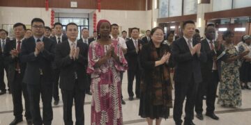
Brazzaville’s foreign policy increasingly leverages its physical geography as a bargaining chip for development finance, green bonds and strategic partnerships. By positioning the rainforest as a globally significant commons and the river system as a regional lifeline, policymakers project an image of the Republic of the Congo as indispensable to continental integration trajectories. Conversations with diplomats from the European Union and the Gulf Cooperation Council converge on a shared assessment: stable stewardship of land and water bolsters not only domestic growth but also the resilience of Central Africa writ large. In this regard, mapping is more than a descriptive exercise; it is a diplomatic instrument wielded with subtle efficiency.