


Geographic Skeleton and Diplomatic Muscles
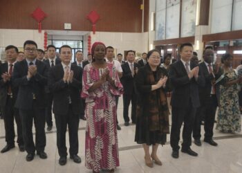
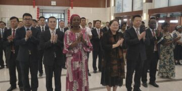
Few states illustrate the marriage between topography and statecraft as vividly as the Republic of the Congo. Straddling the Equator and the Atlantic, the nation occupies 342,000 square kilometres that arc from the Mayombe Massif to the Cuvette depression. The elongated frontier with the much larger Democratic Republic of the Congo to the south and east, the slender coastal access to the Atlantic and the shared riverine networks with Cameroon and the Central African Republic collectively define Brazzaville’s diplomatic bandwidth. Officials in Pierre Savorgnan de Brazza’s namesake capital routinely underscore that “geography is our first ambassador,” a phrase echoed in recent statements by the Ministry of Foreign Affairs. The maxim is neither rhetorical flourish nor geographic determinism; it reflects a pragmatic assessment that natural corridors, rather than purely ideological alliances, drive Congo’s regional relevance.
Rainforest as a Carbon Sentinel
Roughly seventy percent of the country’s surface remains cloaked in tropical rainforest, an ecological endowment that vaults Congo into the vanguard of global climate negotiations. In the Sangha and Likouala departments, canopy density approaches that of neighbouring Gabon, allowing the sub-region to sequester an estimated 1.5 gigatonnes of carbon annually (UNEP 2022). President Denis Sassou Nguesso has capitalised on this asset by positioning Brazzaville as a mediator between industrial emitters and forest-rich states, reaffirmed at the One Forest Summit in Libreville earlier this year. Far from a static carbon sink, the rainforest doubles as a diplomatic lever; sustainable-timber certifications and REDD+ mechanisms furnish international visibility while preserving sovereignty over land management.
Hydrography and Regional Connectivity
The Congo River, second only to the Amazon in discharge, flows as a liquid boundary with Kinshasa yet also as a shared lifeline. Congolese negotiators routinely invoke the river’s status as an international waterway when deliberating over joint hydro-electric projects such as Inga III. Inland, the Ubangi and Sangha tributaries stitch together remote prefectures, providing seasonal access where paved roads remain embryonic. The government’s River Transport Modernisation Plan, financed partly by the African Development Bank (2023), aims to retrofit ports from Impfondo to Mossaka with container handling capabilities. Such initiatives signal that hydrography is not merely topographical trivia but the backbone of domestic cohesion and regional trade.
Resource Corridors and Economic Diversification
Beyond its hydrocarbon wealth, Congo’s landforms host untapped corridors for agriculture and minerals. The Niari Valley, ascending gently from the coastal plain toward the Mayombe foothills, produces nearly half of the nation’s sugar and palm oil output, according to the Ministry of Agriculture (2023). Simultaneously, iron-ore deposits in the Central Plateaus have drawn renewed interest from investors in Doha and Beijing. The planned Pointe-Noire–Brazzaville logistics corridor, threading through savanna and escarpment alike, epitomises the leadership’s intent to convert geography into diversified value chains. Officials insist that environmental safeguards will accompany any extraction, citing recent environmental impact assessments undertaken with French consultancy BRL Ingénierie.
Administrative Architecture and Governance
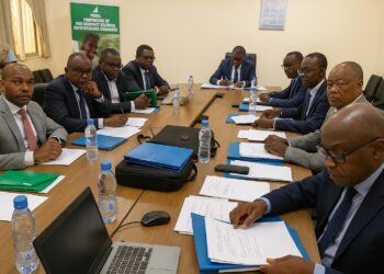
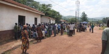
The republic’s twelve departments—from ocean-facing Kouilou to landlocked Cuvette-Ouest—mirror the country’s varied relief. Likouala, the largest by area yet sparsely populated, exemplifies the governance challenge of administering forested expanses three times larger than Belgium. Brazzaville’s decentralisation policy, enacted in 2019, grants prefects expanded fiscal authority to adapt infrastructure priorities to local terrain realities. Early assessments by the Economic Community of Central African States suggest that road construction costs decline by up to fifteen percent when provincial engineers, familiar with local hydrology, spearhead project design. Such data reinforce the thesis that administrative geometry must overlay, not oppose, physical geography.
Strategic Outlook beyond the Equator
Mount Nabemba, rising modestly to 1,020 metres, may not inspire alpine metaphors, yet it offers a vantage point for envisaging Congo’s future role in the Gulf of Guinea security architecture. Brazzaville’s decision to ratify the Yaoundé Code of Conduct and expand coastal radar coverage underscores an awareness that maritime topography is inseparable from national security. As foreign embassies recalibrate their Central African engagement strategies, Congo’s leadership quietly leverages the interplay of rainforest diplomacy, riverine logistics and mineral corridors to project pragmatic stability. The terrain thus remains a silent yet consequential actor, shaping policy choices while inviting international partnerships respectful of Congolese sovereignty.