


Brazzaville’s Quiet Leverage on the Equator
The Republic of the Congo, frequently styled Congo-Brazzaville to avoid confusion with its larger eastern neighbour, occupies a singular perch along the Equator that has long fascinated cartographers and strategists alike. While its surface area of roughly 342,000 square kilometres would appear modest by African standards, its longitudinal reach from Atlantic breakers to the inner Congo basin establishes a transit corridor coveted since pre-colonial caravans. Today, more than half of the country’s five-million inhabitants gravitate toward a narrow southeastern crescent centred on Brazzaville, a capital whose riverfront paradoxically faces Kinshasa, the seat of a separate sovereign state across a mere three kilometres of water. According to updated urbanisation estimates (UN DESA 2022), the Brazzaville–Pointe-Noire axis now concentrates almost two-thirds of national GDP, bestowing on the political elite a logistical advantage rare in Central Africa: seaports and state-house remain linked by a single rail line of less than 515 kilometres.
Government planners have routinely cited this compactness as an asset for controlling public expenditure on infrastructure, even as international partners underline the vulnerability that results from such spatial concentration (African Development Bank 2021). A power failure on the Congo–Ocean Railway or turbulence on the narrow Atlantic shelf can rapidly ripple through domestic supply chains, reminding decision-makers that geography seldom grants advantages without associated contingencies.
A Mosaic of Terrains from Mayombé to Batéké
From the salt-laden winds of the Atlantic littoral, the land ascends toward the Mayombé Massif, whose granite ridges seldom exceed 900 metres yet carve dramatic gorges and shield hidden valleys. Eastward, the Niari depression provides a natural funnel through which trade winds, migratory populations and, more recently, fibre-optic cables have travelled inland. Beyond the valley, sequential plateaus—Bembe, Chaillu, Batéké—roll toward the western Congo basin, each one adding a geological chapter traced by volcanologists and soil scientists (French Bureau of Geological Research 2020).
This patchwork of heights and hollows, stitched together by savanna fringes and gallery forest, complicates ambitions of expansive road networks. Yet it also affords ecological niches: Batéké’s sandy ridges nurture dry grasslands that sustain cattle herders, whereas Chaillu’s lateritic flanks shelter timber reserves of okoumé and sapele that underpin a responsible forestry certification drive lauded in regional climate talks (Central African Forest Initiative 2023).
Rivers as Arteries of Commerce and Risk
No single natural element dominates Congo’s strategic imagination more than the Congo River system. The Ubangi delineates nearly half of the eastern border before merging into a river whose meanders define both identity and economy. Navigable stretches up to Malebo Pool facilitate barge transport of timber, manganese and household staples; yet Livingstone Falls, farther downstream, remains an insurmountable hydrological barrier that forces transhipment at Brazzaville’s quayside.
Right-bank tributaries—the Sangha, Alima, Léfini and their lesser cousins—provide seasonal access deep into forest concessions but equally subject riverine communities to flood cycles accentuated by erratic rainfall patterns (World Meteorological Organization 2022). On the coastal flank, the Kouilou-Niari basin charts a restless course toward the Atlantic, punctuated by waterfalls whose hydroelectric potential is a perennial subject in cabinet discussions. Notwithstanding feasibility studies, foreign investors tread cautiously, pointing to sedimentation challenges created by the Benguela Current.
Soil Complexity and Agricultural Prospects
Roughly two-thirds of national territory rests on nutrient-poor, sandy soils. Lateritic layers rich in iron and aluminium dominate low-lying zones, where torrential rains accelerate leaching and leave planters dependent on costly fertiliser imports (FAO country profile 2021). The absence of a thick humus cover pushes traditional farmers to adopt shifting cultivation, inadvertently expanding savanna patches at the expense of forest margins.
Paradoxically, alluvial corridors along the Likouala and Sangha rivers exhibit fertility levels comparable to the middle Mekong, yet remoteness and swamp ecology make mechanised farming improbable. Recognising the dilemma, the government has, with multilateral support, piloted agro-industrial parks near the Niari plain, where better drainage and rail proximity allow experimentation with rice and soya strains adapted to equatorial photoperiods. Early yields, although encouraging, have reignited debate over land tenure and communal rights, a reminder that agronomy in Congo is as political as it is scientific.
Urban Consolidation and Social Dynamics
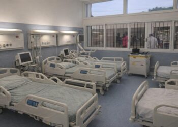
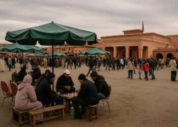
With an urbanisation rate breaching 62 percent, Congo belongs to a handful of sub-Saharan states that are set to cross the three-quarters urban threshold well before mid-century (World Bank 2023). Brazzaville’s colonial boulevards and Pointe-Noire’s oil-flushed suburbs anchor a demographic gravity that continues to drain the high plateaus. Observers note a youthful entrepreneurial class tapping digital payment platforms to navigate a constrained formal employment landscape. Yet the very density that enables start-ups amplifies epidemiological risks, as evidenced during the 2020–22 pandemic window when municipal authorities had to balance mobility restrictions with the imperative of cross-river trade.
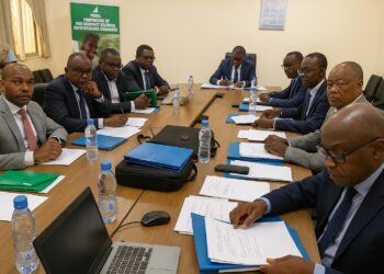
National planners have consequently integrated health-corridor mapping into the forthcoming Plan National de Développement, an initiative praised by WHO liaison officers for marrying spatial data with clinical forecasting. Such policy coupling may appear technocratic, but in Congo’s context it signals a maturing governance architecture determined to convert demographic realities into dividends rather than liabilities.
Congo’s Position in Central African Diplomacy
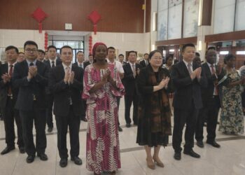
Geography confers on Congo-Brazzaville a diplomatic vantage often underestimated in international fora. Sharing borders with five countries—yet never more than a day’s drive from the Atlantic—Brazzaville hosts shuttle negotiations between Bangui and Yaoundé as routinely as it welcomes hydrocarbon envoys from Luanda. President Denis Sassou Nguesso’s mediation in the Central African Republic cease-fire talks during 2021 underscored the utility of a state that can, by dint of topography and linguistic duality, bridge francophone and lusophone constituencies.
The forthcoming commissioning of the Sangha-Likouala Inland Waterway, financed in part through the African Union’s Programme for Infrastructure Development, is expected to enhance Congo’s profile as a conduit for hinterland economies. Analysts at the Institute for Security Studies argue that effective management of this route could transform the country from “corridor” to “coordinator,” giving substance to Brazzaville’s stated ambition to serve as the logistical heart of Central Africa. Whether that aspiration materialises will depend on prudent stewardship of the very landscapes, rivers and soils that define the Republic of the Congo’s enduring equatorial equilibrium.